Source of Changjiang River
The Changjiang (Yangtze) River descends from the glaciers at the northwestern foot of the snow-capped  Geladandong, the main peak of Tanggula Mountains. Twenty-one ice peaks tower 6,000 meters above sea level, forming the Tuotuo River, the origin of the Yangtze. Standing among the forest of ice peaks, people can enjoy the superlative craftsmanship by nature - the crystal ice "sculptures" of towers, bridges, and mushrooms. The best season for traveling is from June through September. Geladandong, the main peak of Tanggula Mountains. Twenty-one ice peaks tower 6,000 meters above sea level, forming the Tuotuo River, the origin of the Yangtze. Standing among the forest of ice peaks, people can enjoy the superlative craftsmanship by nature - the crystal ice "sculptures" of towers, bridges, and mushrooms. The best season for traveling is from June through September.
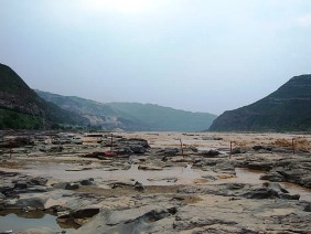
Source of Huanghe River
The Huanghe (Yellow) River descends from Yokutsunglieh Canal in the north, east of Mt. Yagradagze in Madoi County, and Kari Qu in the south in Qumarleb County. The source region is 5,000 meters above sea level. The river meanders through broad grasslands, accepting numerous springs, which empty themselves into more than 100 pools and lakes dotted around, glistening in the sun like stars, giving the area the name the Sea of Stars. The pools and lakes join in a 10-meter-wide, 0.5-meter-deep stream - the source of the river. The best season for trekking is from June through September.
|
